Building a GPX Editor in TypeScript and Leaflet
Why a GPX Editor in the Browser?
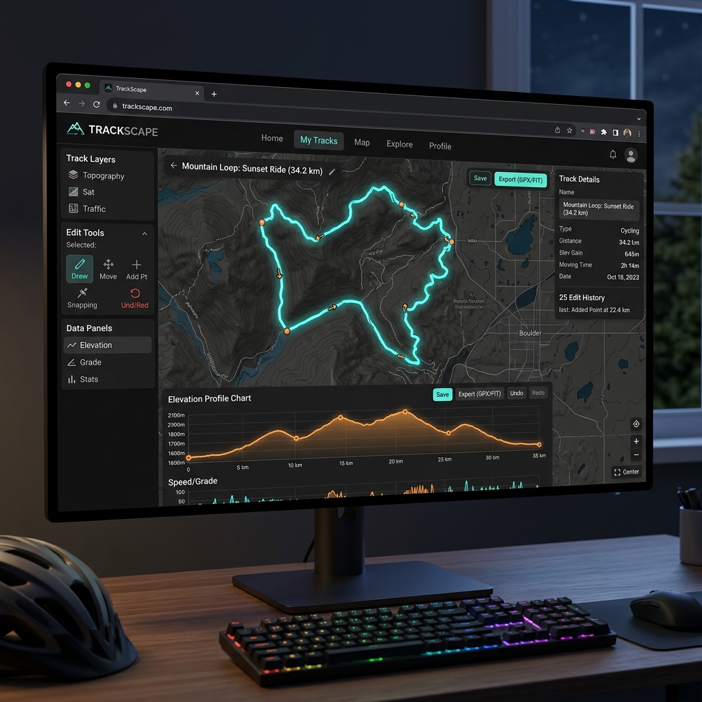
Cyclists and runners accumulate gigabytes of GPX files from their Garmin or Wahoo devices. Often, these files contain speed spikes or power data errors. Until yesterday, to clean these tracks, you had to download heavy desktop software. The challenge? Creating a 100% web-based editor. Zero backend. Zero uploads to slow servers.
What we will build: - Client-side parsing of GPX files - Smoothing algorithm to clean data - Interactive elevation profile with Chart.js
Core Features and Architecture
All the magic happens on the client. Your GPX file never leaves your computer.
1. Reading and Parsing: Instant reading of the XML. 2. Smoothing (Douglas-Peucker): An essential algorithm that simplifies the track by eliminating redundant GPS points, saving the path shape while drastically reducing file size. 3. Elevation Profile: Rendered at 60fps using Chart.js, offering immediate visual feedback on the slope.
Technological Choices
To build the application, a lean and type-safe stack was needed.
| Technology | Role | Motivation |
|---|---|---|
| TypeScript | Core Logic | To manipulate coordinates and XML you need strong typing, otherwise geospatial bugs are endless. |
| Leaflet | Map Rendering | Much lighter than Mapbox GL and with a permissive license (BSD). |
| Chart.js | Elevation | Simple API, performant Canvas for datasets of thousands of points. |
| Vite | Bundler | Instant HMR, essential for iterating UI quickly. |
*Table 1: Tech Stack for the GPX Editor*
// Simplified GPX parsing example
import { DOMParser } from "xmldom";
const doc = new DOMParser().parseFromString(gpxString, "text/xml");
const trkpts = doc.getElementsByTagName("trkpt");
console.log(`Found ${trkpts.length} points in the track`);
The final result is a professional, fluid, and secure tool, accessible from any modern browser.